
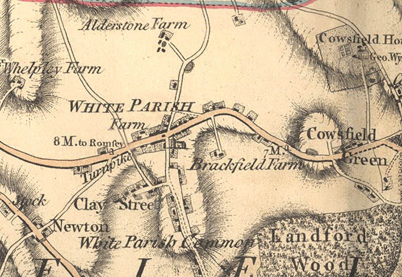
From Andrews’ and Dury’s Map of Wiltshire, 1810
- Date of image
- Date uploaded
- 25 October 2007
- Number of views
- 609
- Number of comments
- 2
- Location of image
- Wiltshire & Swindon History Centre, Chippenham
- Notes
-
This is a corrected and updated edition of the 1773 map that includes the recently built canals.