
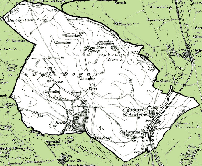
Map of the Civil Parish of Ogbourne St. Andrew
- Date of image
- 1890s
- Date uploaded
- 13 April 2011
- Number of views
- 365
- Number of comments
- 0
- Location of image
- Wiltshire & Swindon History Centre, Chippenham
- Notes
-
From the Ordnance Survey 1890s revision of the one inch to one mile map. The modern civil parish boundary has been superimposed.