
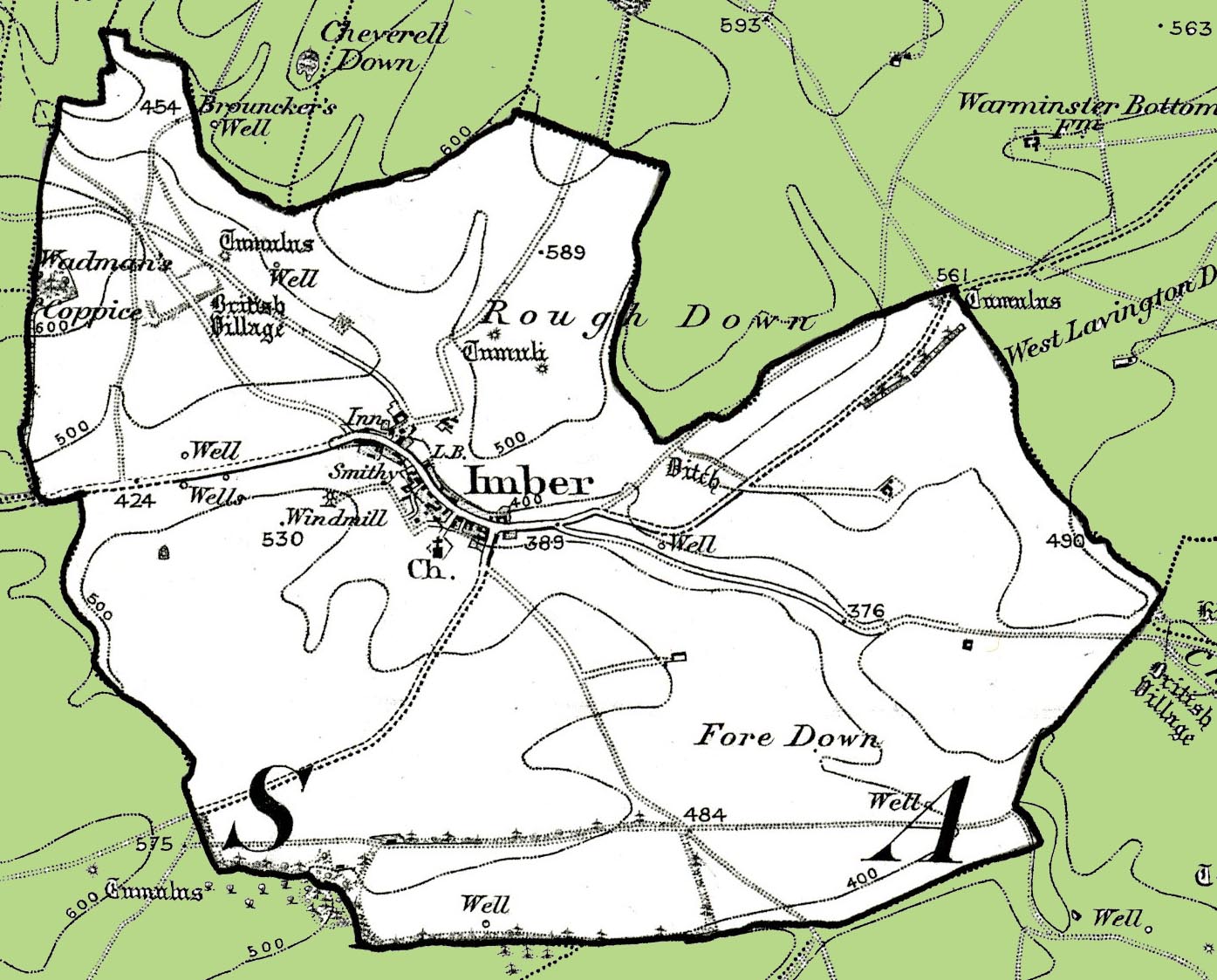
Map of the former Civil Parish of Imber
- Date of image
- 1890s
- Date uploaded
- 01 February 2013
- Number of views
- 781
- Number of comments
- 0
- Location of image
- Wiltshire & Swindon History Centre, Chippenham
- Notes
-
From the Ordnance Survey 1890s revision of the one inch to one mile map. Imber is now part of the civil parish of Heytesbury, Imber and Knook.